
Blog tagged as Agronomy
The Agronomists, Ep 40: Jason Voogt and Jack Payne on the value of soil sampling and post-harvest scouting
18.11.21 11:12 AM - Comment(s)
A team effort of RealAgriculture videographers and editorial staff to make sure that you have the latest in agronomy information for your farm.
SWAT MAPS - Unlock Your Soil Potential
15.11.21 05:54 PM - Comment(s)
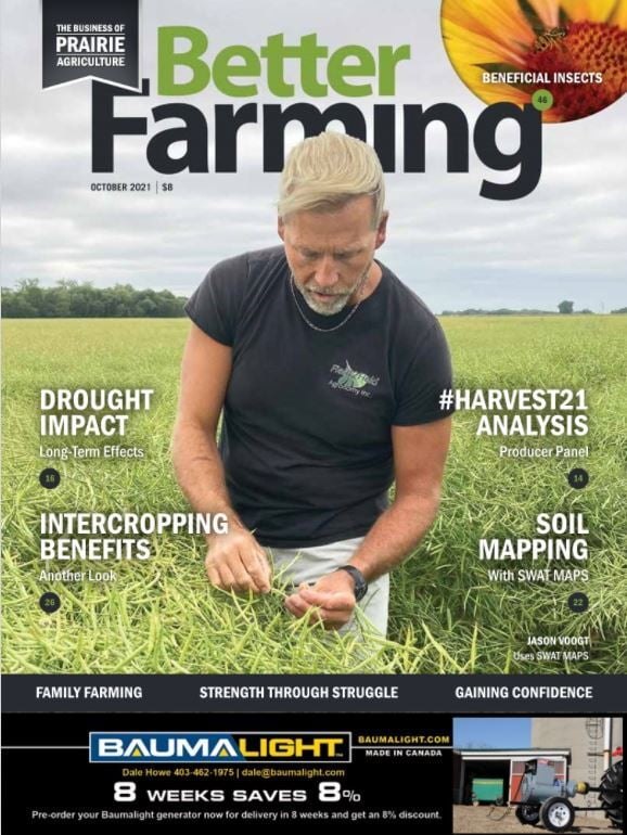
SWAT stands for soil, water and topography. It is a soil mapping system for characterizing your fields.
Maps are made using a SWAT BOX mounted on a side by side or truck. This is driven over the field on 40-80 feet swaths. The maps are made using electrical conductivity measurements from the SW...